Surveyors in Wingham
Enquire Today in Wingham
Contact Us
Residential, Commercial and Industrial
Serving Engineers, Architects, Homeowners & Construction Businesses
Land & Construction Surveying Solutions

Drive Accuracy & Efficiency
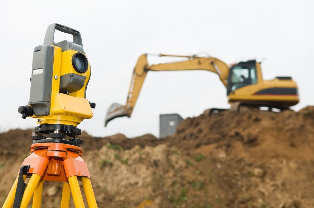
Reliable surveying is the key to smooth land development, construction planning and legal boundary identification. At CalCo Surveyors, we provide expert surveying services backed by over 35 years of experience.
Using cutting-edge Trimble RTK GPS, GNSS systems and UAV technology, we capture precise site data to support engineers, architects, builders and property owners. Whether you need a subdivision survey, a construction set out or detailed topographic mapping, we ensure accuracy at every step.
Our commitment to delivering high-quality results makes us the trusted choice for surveyors in Wingham. Call (02) 6558 2255 today for complete surveying solutions.
Services
From boundary identification to site development, our land surveying services in Wingham provide accurate mapping and legal land assessments. We help property owners, developers and councils make informed decisions based on precise site data.
Accurate set outs and elevation mapping are essential for any construction project. Our construction surveying in Wingham ensures every build is positioned correctly, helping engineers and builders stay on schedule with precise measurements.
Reliable Data for Seamless Project Execution
Every successful project starts with precise measurements. At CalCo Surveyors, we use fully robotic S8 Total Stations and advanced aerial mapping tools to provide highly accurate land and construction data.
Whether you're overseeing a large scale infrastructure development, planning a residential build or needing property boundary confirmation, our expert team ensures every detail is mapped with precision. Our surveying services help prevent disputes, reduce costly delays and ensure compliance with planning regulations.
With a strong reputation for delivering trusted surveying solutions in Wingham, we continue to provide data driven insights that keep projects moving forward efficiently.

Nature's Symphony
Enquire Today in Wingham
Contact Details


Frequently Asked Questions
What locations do you service?
We service throughout the Mid North Coast region and surrounding areas including Gloucester, Taree, Harrington, Old Bar, Diamond Beach, Bulahdelah, Nabiac, Forster, Wingham and Stroud.
Can a surveyor determine if my property is affected by an easement?
Yes, a surveyor can check property records and conduct a survey to determine if easements such as drainage or access rights exist on your land.
How does drone surveying work?
Drone surveying uses UAV (Unmanned Aerial Vehicle) technology to capture aerial images and generate detailed 3D models, topographic maps and site analysis data.


